Creative Commons Zero v1.0 Universal

项目介绍

eupassarinho/GoogleEarthEngine-sentinel1-vegetation-indices 是一个托管在 GitHub 上的开源项目,主要使用 JavaScript 编写,采用 Creative Commons Zero v1.0 Universal 许可证,目前获得 39 个 Star、7 次 Fork。

仓库全名
eupassarinho/GoogleEarthEngine-sentinel1-vegetation-indices
开源许可证
Creative Commons Zero v1.0 Universal
Star 数
39
Fork 数
7

README 摘要

googleearthengine-thesis-codes This repository contains only the codes written in JavaScript to process Sentinel-1 and Landsat 8 images, in Google Earth Engine JavaScript API, to generate optical and radar vegetation indices. My dissertation was written in the Department of Agricultural Engineering, at the Universidade Federal de Viçosa, Brazil. From that, two scientific papers were derived, which are: It is the…

完整内容见 GitHub 原始 README 或本页 。

常见问题

GoogleEarthEngine-sentinel1-vegetation-indices 用什么语言开发?

主要使用 JavaScript 编写,采用 Creative Commons Zero v1.0 Universal 许可证,目前有 39 个 Star。

GoogleEarthEngine-sentinel1-vegetation-indices 可以免费商用吗?

仓库标注的许可证为 Creative Commons Zero v1.0 Universal,商用前请先阅读仓库 LICENSE 文件确认授权范围。

如何获取 GoogleEarthEngine-sentinel1-vegetation-indices 的源码?

可以直接克隆仓库:git clone https://github.com/eupassarinho/GoogleEarthEngine-sentinel1-vegetation-indices.git,默认分支为 main;安装与运行步骤见仓库 README。

GoogleEarthEngine-sentinel1-vegetation-indices 最近还在维护吗?

仓库最近一次更新为 2024年7月25日,当前没有未关闭的 Issue;Star 数为 39,可作为社区活跃度的参考。

关于

It contains Google Earth Engine codes (JavaScript API) to process Sentinel-1 and Landsat 8 images to compute SAR and optical vegetation indices.

描述取自 GitHub 官方 API,中文内容由 GitRead 中文社区 编辑团队整理。

简要分析

热度分
54
价值分
25
活跃状态
活跃

语言占比

JavaScript

Release

贡献者

README

googleearthengine-thesis-codes

DOI

This repository contains only the codes written in JavaScript to process Sentinel-1 and Landsat 8 images, in Google Earth Engine JavaScript API, to generate optical and radar vegetation indices. My dissertation was written in the Department of Agricultural Engineering, at the Universidade Federal de Viçosa, Brazil. From that, two scientific papers were derived, which are:

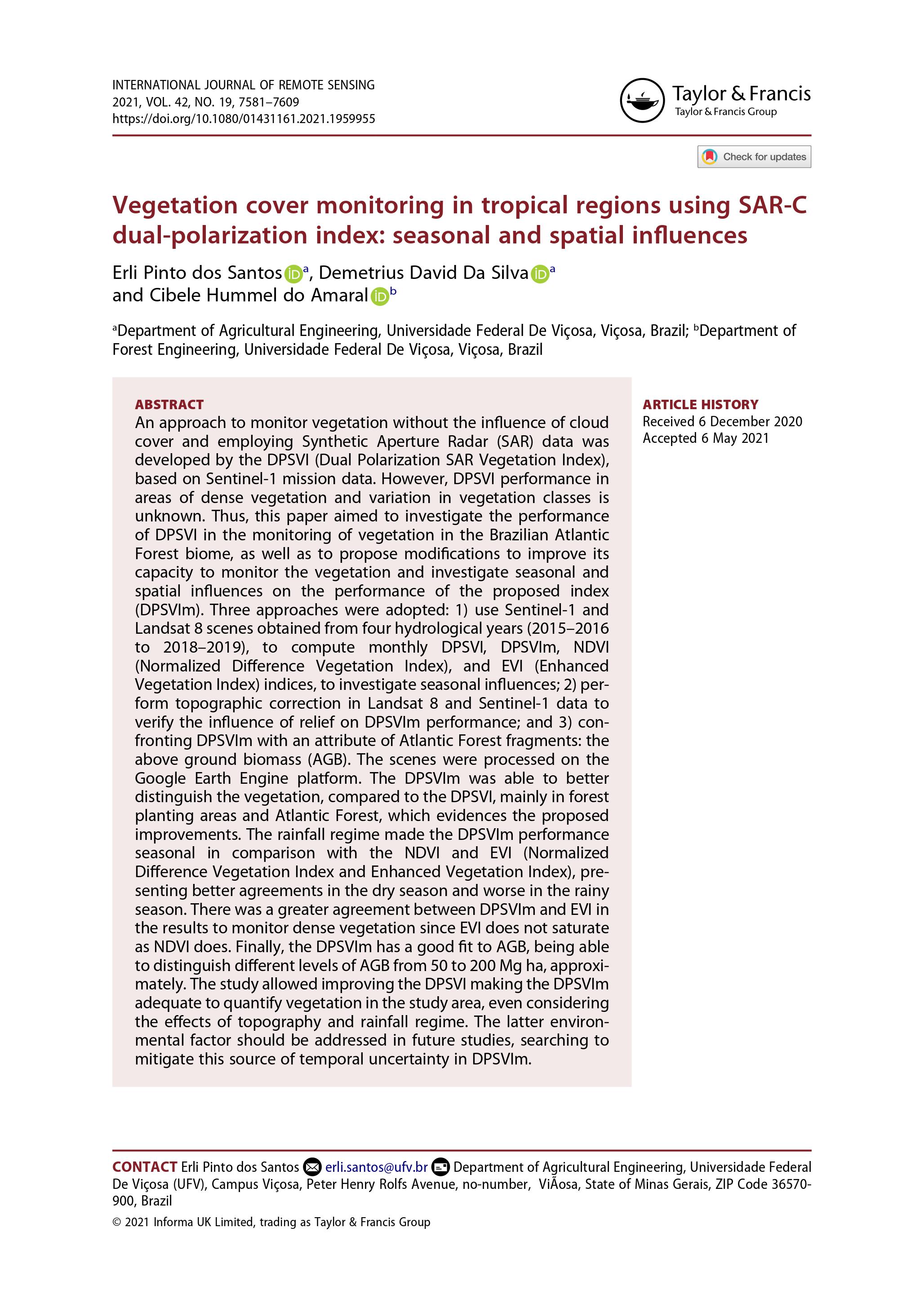
It is the first paper:

SANTOS-SILVA-AMARAL_2021_DPSVIm

Vegetation cover monitoring in tropical regions using SAR-C dual-polarization index: seasonal and spatial influences. It was published in the International Journal of Remote Sensing, and can be accessed through the DOI: https://doi.org/10.1080/01431161.2021.1959955

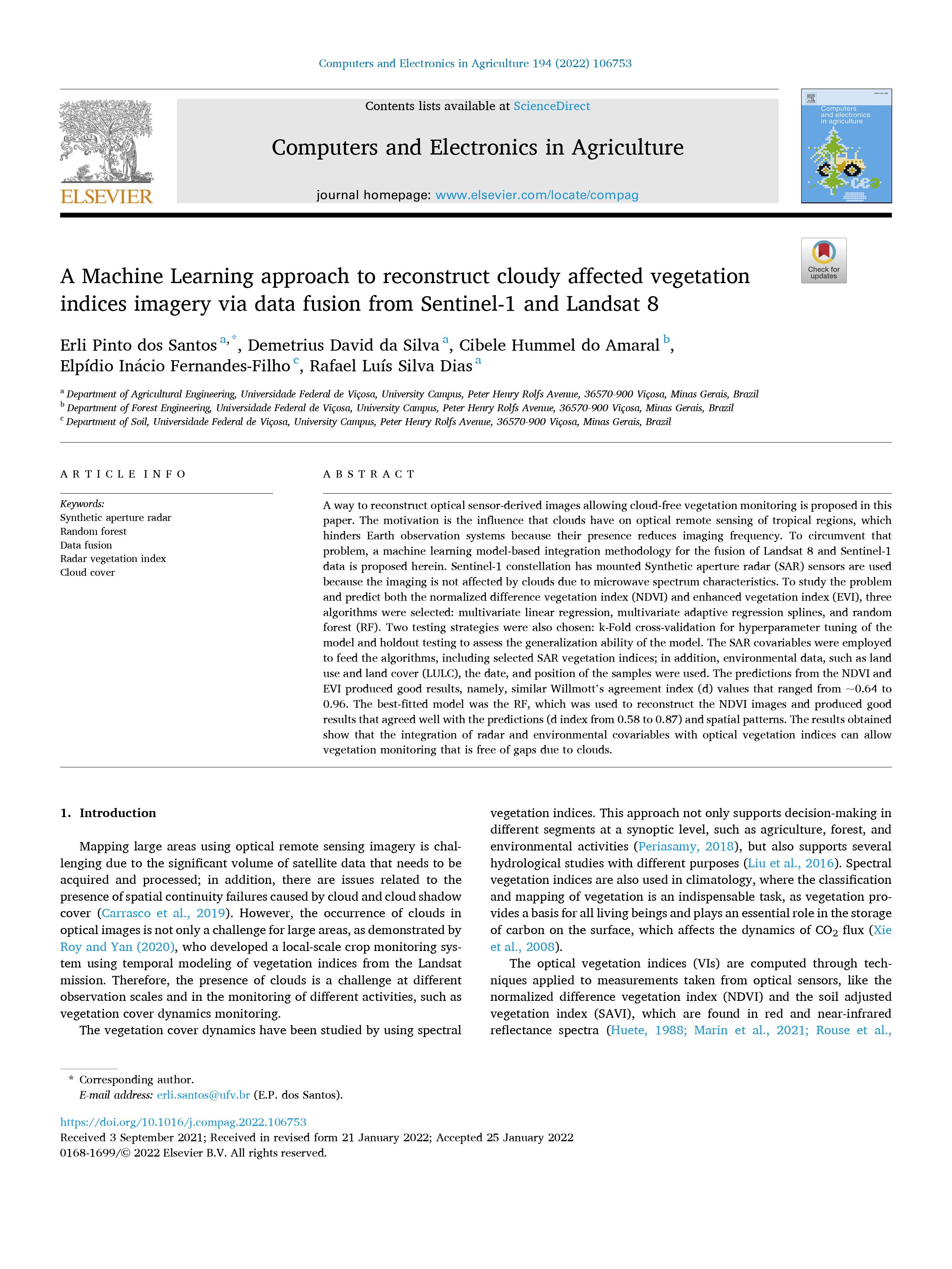
It is the second paper:

dosSantos_etal_2022_MachineLearningNDVISentinel-1Landsat8

A Machine Learning approach to reconstruct cloudy affected vegetation indices imagery via data fusion from Sentinel-1 and Landsat 8. It was published in the Computers and Electronics in Agriculture journal and can be accessed through the DOI: https://doi.org/10.1016/j.compag.2022.106753

Follows also a graphical abstract of the second paper:

Graphical_Abstract

If any of the codes published here seems useful for your, please consider citing the corresponding paper!

Erli Pinto dos Santos Agronomy Engineer PhD candidate in Agricultural Engineering Department of Agricultural Engineering Universidade Federal de Viçosa (Viçosa, Minas Gerais, Brazil)

评论

暂无评论