BSD 3-Clause "New" or "Revised" License

项目介绍

ethz-asl/aerial_mapper 是一个托管在 GitHub 上的开源项目,主要使用 C++ 编写,采用 BSD 3-Clause "New" or "Revised" License 许可证,目前获得 623 个 Star、165 次 Fork。

仓库全名
ethz-asl/aerial_mapper
开源许可证
BSD 3-Clause "New" or "Revised" License
Star 数
623
Fork 数
165
未关闭 Issue
7

README 摘要

aerial-mapper Overview Load camera poses from different formats (such as PIX4D, COLMAP) Generates a dense point cloud from raw images, camera poses and camera intrinsics Generates Digital Surface Models (DSMs) from raw point clouds and exports e.g. to GeoTiff format Different methods to generate (ortho-)mosaics from raw images, camera poses and camera intrinsics Package Overview aerialmapper: Meta package…

完整内容见 GitHub 原始 README 或本页 。

常见问题

aerial_mapper 用什么语言开发?

主要使用 C++ 编写,采用 BSD 3-Clause "New" or "Revised" License 许可证,目前有 623 个 Star。

aerial_mapper 可以免费商用吗?

仓库采用 BSD 3-Clause "New" or "Revised" License 许可证,可免费使用与修改,商业使用请遵守许可证条款(例如保留版权声明与许可声明)。

如何获取 aerial_mapper 的源码?

可以直接克隆仓库:git clone https://github.com/ethz-asl/aerial_mapper.git,默认分支为 master;安装与运行步骤见仓库 README。

aerial_mapper 最近还在维护吗?

仓库最近一次更新为 2021年3月15日,当前有 7 个未关闭 Issue;Star 数为 623,可作为社区活跃度的参考。

关于

GitHub 原始描述(英文)

Real-time Dense Point Cloud, Digital Surface Map (DSM) and (Ortho-)Mosaic Generation for UAVs

描述取自 GitHub 官方 API,保持仓库作者书写的原文。

简要分析

热度分
958
价值分
423
活跃状态
归档

语言占比

C++
CMake

README

aerial-mapper

Overview

  • Load camera poses from different formats (such as PIX4D, COLMAP)
  • Generates a dense point cloud from raw images, camera poses and camera intrinsics
  • Generates Digital Surface Models (DSMs) from raw point clouds and exports e.g. to GeoTiff format
  • Different methods to generate (ortho-)mosaics from raw images, camera poses and camera intrinsics

Package Overview

Getting started

Output samples

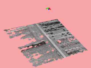
Dense point cloud
(from virtual stereo pair, 2 images)
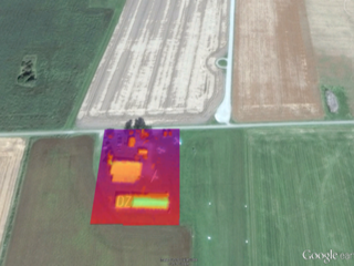
Digital Surface Map
(DSM, exported as GeoTiff)
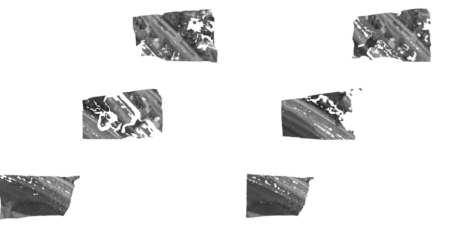
(Ortho-)Mosaic
(from homography, 249 images)
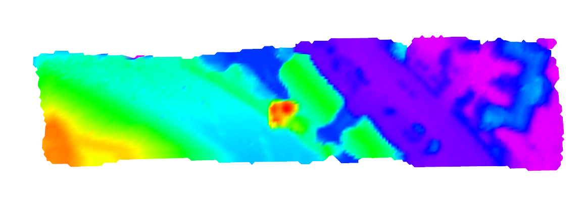
Raw images Dense point cloud Digital Surface Map
Observation Angle
(red: nadir)
Grid-based Orthomosaic
(Cell resolution: 0.5m)
Textured DSM

Publications

If you use this work in an academic context, please cite the following publication:

T. Hinzmann, J. L. Schönberger, M. Pollefeys, and R. Siegwart, “Mapping on the Fly: Real-time 3D Dense Reconstruction, Digital Surface Map and Incremental Orthomosaic Generation for Unmanned Aerial Vehicles” [PDF]

@INPROCEEDINGS{fsr_hinzmann_2017,
   Author = {T. Hinzmann, J. L. Schönberger, M. Pollefeys, and R. Siegwart},
   Title = {Mapping on the Fly: Real-time 3D Dense Reconstruction, Digital Surface Map and Incremental Orthomosaic Generation for Unmanned Aerial Vehicles},
   Booktitle = {Field and Service Robotics - Results of the 11th International Conference},
   Year = {2017}
}

Acknowledgment

This work was partially funded by the European FP7 project SHERPA (FP7-600958) and the Federal office armasuisse Science and Technology under project number 050-45. Furthermore, the authors wish to thank Lucas P. Teixeira from the Vision for Robotics Lab at ETH Zurich for sharing scripts that bridge the gap between Blender and Gazebo.

评论

暂无评论