
项目介绍
OpenGeoscience/geojs 是一个托管在 GitHub 上的开源项目,主要使用 JavaScript 编写,采用 Apache License 2.0 许可证,目前获得 470 个 Star、73 次 Fork。
- 仓库全名
- OpenGeoscience/geojs
- 开源许可证
- Apache License 2.0
- Star 数
- 470
- Fork 数
- 73
- 未关闭 Issue
- 46
README 摘要
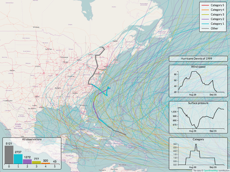
GeoJS is intended to bridge the gap between GIS, Scientific Visualization, and Infovis. GeoJS is more than just a GIS library as users can create scientific plots such as vector and contour and can embed infovis plots using D3.js. GeoJS aims for high-performance visualization and interactive data exploration of scientific and geospatial location aware datasets. GeoJS supports features such as Point, Line, Polygon,…
完整内容见 GitHub 原始 README 或本页 。
常见问题
geojs 用什么语言开发?
主要使用 JavaScript 编写,采用 Apache License 2.0 许可证,目前有 470 个 Star。
geojs 可以免费商用吗?
仓库采用 Apache License 2.0 许可证,可免费使用与修改,商业使用请遵守许可证条款(例如保留版权声明与许可声明)。
如何获取 geojs 的源码?
可以直接克隆仓库:git clone https://github.com/OpenGeoscience/geojs.git,默认分支为 master;安装与运行步骤见仓库 README。
geojs 最近还在维护吗?
仓库最近一次更新为 5 天前,当前有 46 个未关闭 Issue;Star 数为 470,可作为社区活跃度的参考。
相关仓库

代理框架性能优化系统。为 Claude Code、Codex、Opencode、Cursor 及其他工具提供技能、本能、记忆、安全性和研究优先的开发支持。


用 JavaScript 实现的算法与数据结构,并附有讲解和延伸阅读链接


Java 面试 & 后端通用面试指南,覆盖计算机基础、数据库、分布式、高并发、系统设计与 AI 应用开发





评论