Esri Leaflet


Leaflet plugins for working with a handful of the most popular ArcGIS Service types. This includes Esri basemaps and feature services, as well as tiled map, dynamic map and image services.
This project is maintained with :heart: by folks on multiple teams at Esri, but we provide no guarantee of individual features, nor a traditional product lifecycle to support planning.
The goal of this project is not to replace the ArcGIS Maps SDK for JavaScript but rather to provide small components for only some aspects of the ArcGIS platform for developers who prefer to build mapping applications with Leaflet.
We are proud to facilitate a project which requires participation from our diverse user community in order to thrive and we welcome contributions from those just getting their feet wet in open-source.
Support for Geocoding services and Geoprocessing services, as well as service defined rendering are available as well (via additional plugins).
If you’d like to display Esri services in any Leaflet application, we ask that you adhere to our Terms of Use and attribution requirements.
Table of Contents
Quick Start
The easiest way to get started is to load Esri Leaflet via CDN. Here is an example you can copy/paste into your own .html file: Esri Leaflet Quick Start
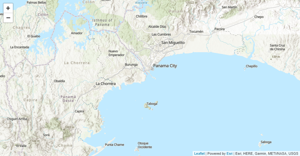
Samples, tutorials, and the API reference can be found at developers.arcgis.com/esri-leaflet.
If you notice any issues or would like to propose a change to the documentation, please let us know by creating an issue in this repository.
Additional Plugins
Many folks have written plugins to customize and extend Leaflet.
http://leafletjs.com/plugins.html
You can also pick and choose additional Esri Leaflet plugins.
https://developers.arcgis.com/esri-leaflet/plugins/
Frequently Asked Questions
Issues
If something isn’t working the way you expected, please take a look at previously logged issues that resolve common problems first. Have you found a new bug? Want to request a new feature? We’d love to hear from you. Please let us know by submitting an issue.
If you’re looking for help you can also find answers on Stack Overflow and GeoNet.
Going Deeper
Development Instructions
If you’d like to inspect and modify the source of Esri Leaflet, follow the instructions below to set up a local development environment.
- Fork and clone Esri Leaflet
cd into the esri-leaflet folder- Install the
package.json dependencies by running npm install
- Run
npm start from the command line. This will compile minified source in a brand new dist directory, launch a tiny webserver and begin watching the raw source for changes.
- Run
npm test to make sure you haven’t introduced a new ‘feature’ accidentally.
- Make your changes and create a pull request
Dependencies
The master branch of this repository is only compatible with Leaflet 1.x.
Versioning
For transparency into the release cycle and in striving to maintain backward compatibility, Esri Leaflet is maintained under Semantic Versioning guidelines and will adhere to these rules whenever possible.
For more information on SemVer, please visit http://semver.org/.
Contributing
Esri welcomes contributions from anyone and everyone. Please see our guidelines for contributing.
Terms
If you’re using Esri content and services, you’ll need to license your usage with an API key or an ArcGIS identity. Full details can be found here: Deployment guidelines.
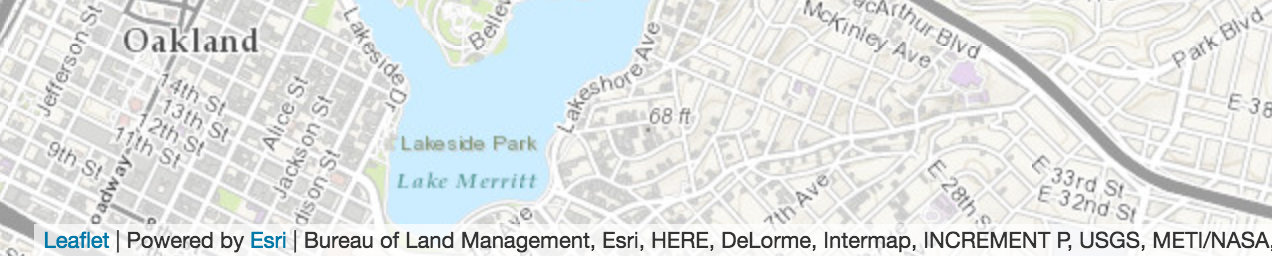
If you display an ArcGIS Online service in any Leaflet application, we require that you include Esri attribution and recognize data providers. Using this plugin, it couldn’t be easier to follow the terms. Just select your basemap and the appropriate credits will be displayed dynamically in Leaflet’s own Attribution control as users pan/zoom.
L.esri.basemapLayer("Topographic").addTo(map);
Credit
License
Copyright © 2014-2019 Esri
Licensed under the Apache License, Version 2.0 (the “License”);
you may not use this file except in compliance with the License.
You may obtain a copy of the License at
http://www.apache.org/licenses/LICENSE-2.0
Unless required by applicable law or agreed to in writing, software
distributed under the License is distributed on an “AS IS” BASIS,
WITHOUT WARRANTIES OR CONDITIONS OF ANY KIND, either express or implied.
See the License for the specific language governing permissions and
limitations under the License.
A copy of the license is available in the repository’s LICENSE file.







评论